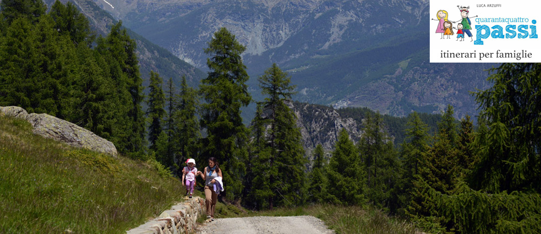
Arcoglio is one of the most spectacular places of Valmalenco
- Durata complessiva: 3:30
- Difficoltà: easy trail, mule track, road
Arcoglio is one of the most spectacular places of Valmalenco: in fact, from here you embrace with a single glance the whole head of Valmalenco, in the heart of an extraordinary landscape of pastures, mild slopes and magnificent woods.
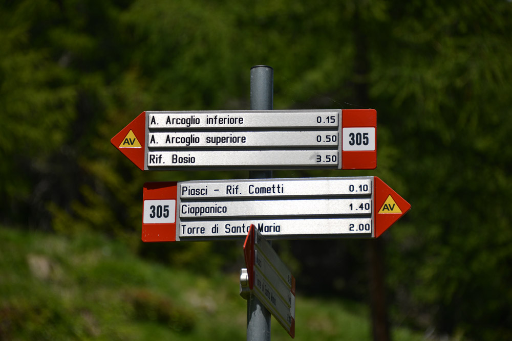
From the centre of Torre Santa Maria you take the uphill road (left) that leads to San Giuseppe and you carry on along numerous uphill hairpin bends on an entirely good road surface, and almost completely paved. After about 7 km (and 900 meters of elevation gain…) you arrive at the locality Zocche at a crossroads: to the right, the road continues towards Piasci, to the left, the dirt road branches off towards Arcoglio.
At this crossroads (broad widening, m 1700), leave the car and take the dirt uphill road into the woods, adventuring into the valley through beautiful shady woods. At an altitude of about 1800 m, the forest broadens and the road, partially paved, continues its steep ascent along some hairpin bends towards the first lodges of lower Alp Arcoglio, that you reach shortly after (m 1926, 1 hour); on the right, a trail branches off (signs) where, after the last sparse trees, the view spreads on the head of Valmalenco.
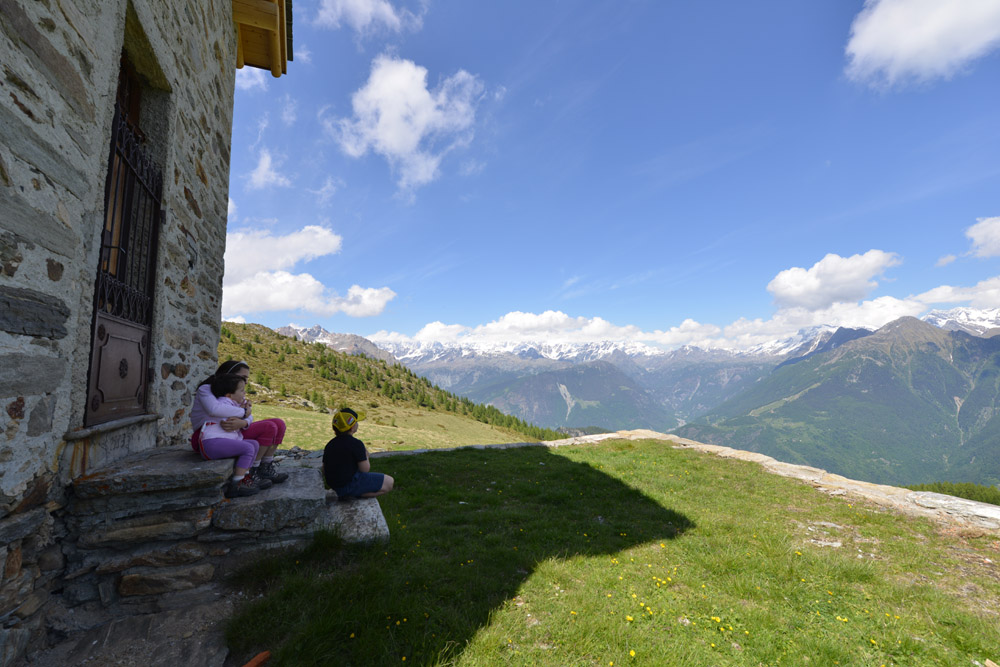
After a hump, you finally see the lodges and the church of upper Arcoglio, quickly reachable (m 2123, 2 hours).
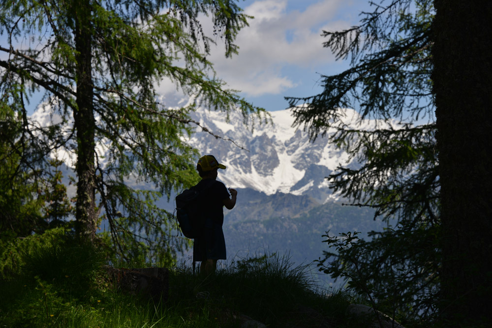
Already from here, the landscape is magnificent: the little “parvis” of the small church offers a glimpse of the Valmalenco peaks, from the nearby reddish rocks of Mount Braccia, last offshoots of Disgrazia group, to Mount Motta and to Sasso Nero, which are the backstage of the valley “giants”: Tremoggia, Malenco, Sassa d’Entova, and also Glüschaint, Gemelli, Sella, Piz Roseg, Scerscen and Bernina, to end, east, with the beautiful pyramid of Pizzo Scalino.
For a better view, you can make an extra effort of 100 meters of ascent up to Lake Arcoglio (m 2236, hours 0.20); in the days without wind, the peaks already seen at the bottom of the valley reflects in its waters.
2 hours the ascent, 1,30 the descent
440/550 m